-
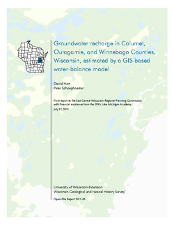
Groundwater Recharge in Calumet, Outagamie, and Winnebago Counties, Wisconsin, Estimated by a GIS-Based Water-Balance Model
Open-file report; contains unpublished data that has not yet been peer-reviewed. -
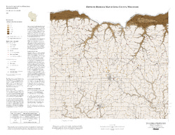
Depth to Bedrock Map of Iowa County, Wisconsin
Open-file report; contains unpublished data that has not yet been peer-reviewed. -
Forecasting Impacts of Extreme Precipitation Events on Wisconsin's Groundwater Levels
Open-file report; contains unpublished data that has not yet been peer-reviewed. -
Preliminary Geologic Map of the Buried Bedrock Surface, Brown County, Wisconsin
Open-file report; contains unpublished data that has not yet been peer-reviewed.-
Preliminary Geologic Map of the Buried Bedrock Surface, Brown County, Wisconsin
2011
Map: 26 in x 30 in, scale 1:100,000
-
-
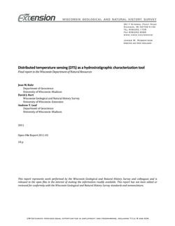
Distributed Temperature Sensing (DTS) as a Hydrostratigraphic Characterization Tool
Open-file report; contains unpublished data that has not yet been peer-reviewed. -
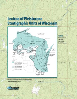
Lexicon of Pleistocene Stratigraphic Units of Wisconsin
This 180-page book marks the first update in over 20 years to the collection of formal definitions of Wisconsin's Pleistocene units. Contains over 100 color maps, photographs, and figures as well as an extensive list of references. -
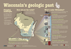
Wisconsin's Geologic Past
At different times in the past three billion years, mountains and volcanoes stood tall in Wisconsin, shallow seas covered much of the state, and glaciers plowed across the landscape. This educational poster vividly brings our past to life. Ideal for classrooms. Size: 27 x 39 inches. -
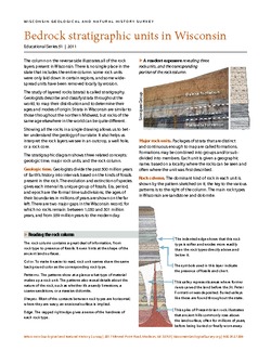
Bedrock Stratigraphic Units in Wisconsin
Chart showing the layers of rock (stratigraphy) present in Wisconsin, their geologic ages, and the associated rock units. The page-size version explains how to read and interpret this complex diagram. (The stratigraphic column is also available as a poster, see WOFR2006-06.) -
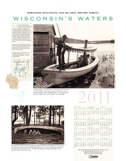
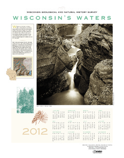
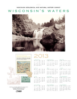
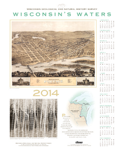
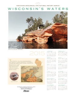
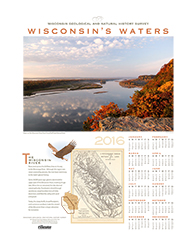
Wisconsin's Waters [2011-2016]
The Survey's annual poster calendar featuring Wisconsin scenery. The 2016 image showcases the Wisconsin River from the Ferry Bluff overlook. -
Quaternary Geology of Sheboygan County, Wisconsin
This report traces the advances and retreats of glaciers through Sheboygan County in eastern Wisconsin. Available as a bulletin, map, cross sections, and GIS data.-
Quaternary Geology of Sheboygan County, Wisconsin [GIS data]
2011
GIS Data: Shapefiles (.shp file format), MrSID files (.sid file format)
-
Quaternary Geology of Sheboygan County, Wisconsin [plate 1]
2011
Map: 32 in x 22 in, scale 1:100,000
-
Geologic Cross Sections of Sheboygan County, Wisconsin [plate 2]
2011
Plate: 33 in x 24 in, scale 1:100,000

Publications Catalog
Wisconsin Geological and Natural History Survey