-
Sources of naturally occurring chromium in bedrock aquifers underlying Madison, Wisconsin
Open-file report; contains unpublished data that has not yet been peer-reviewed.-
Sources of Naturally Occurring Chromium in Bedrock Aquifers Underlying Madison, Wisconsin [appendices]
2012
Data: Spreadsheets (.xlsx and .txt file formats)
-
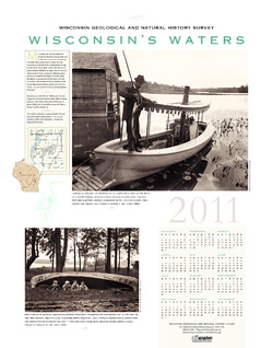
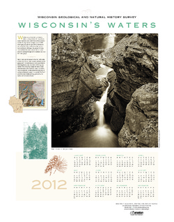
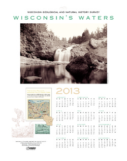
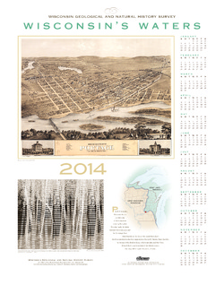
Wisconsin's Waters [2011-2016]
The Survey's annual poster calendar featuring Wisconsin scenery. The 2016 image showcases the Wisconsin River from the Ferry Bluff overlook. -
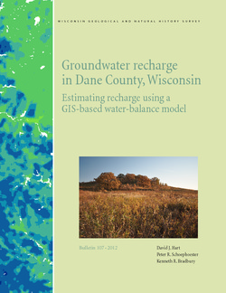
Groundwater Recharge in Dane County, Wisconsin: Estimating Recharge Using a GIS-Based Water-Balance Model
Hydrogeologists at the Survey developed a groundwater management tool to help guide land-use decisions in Dane County. The publication describes the inputs used to calculate recharge and includes a reduced-scale version of the recharge map. A full-scale version of the recharge data has been subsequently added as Dataset 1.-
GIS Data for Groundwater Recharge in Dane County, Wisconsin [dataset 1]
2012
GIS Data: File geodatabase (.gdb file format)

Publications Catalog
Wisconsin Geological and Natural History Survey