-
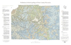
Preliminary Bedrock Geology of Dane County, Wisconsin
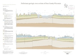
This map, produced at a scale of 1:100,000, reveals the intricate layers of bedrock below Dane County. Available as a map (plate 1), cross sections (plate 2), and GIS data. Open-file report; contains unpublished data that has not yet been peer-reviewed.-
Preliminary Bedrock Geology of Dane County, Wisconsin [plate 1]
2013
Map: 39 in x 25 in, scale 1:100,000
-
Preliminary Bedrock Geology of Dane County, Wisconsin [GIS data]
2013
GIS Data: Documents (.pdf file format), shapefiles (.shp file format)
-
-
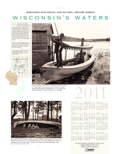
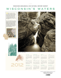
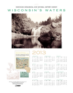
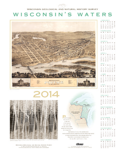
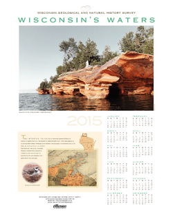
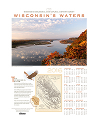
Wisconsin's Waters [2011-2016]
The Survey's annual poster calendar featuring Wisconsin scenery. The 2016 image showcases the Wisconsin River from the Ferry Bluff overlook.

Publications Catalog
Wisconsin Geological and Natural History Survey