-
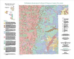
Preliminary Quaternary Geology of Waupaca County, Wisconsin
This open-file report contains a map (PDF) and GIS data (shapefiles) of the glacial and post-glacial deposits of Waupaca County in central Wisconsin. This map and GIS data were superseded by a Map Series publication in 2023: https://doi.org/10.54915/bger3320.-
Preliminary Quaternary Geology of Waupaca County, Wisconsin [plate 1]
2015
Map: 29 in x 23 in, scale 1:100,000
-
Preliminary Quaternary Geology of Waupaca County, Wisconsin [GIS data]
2015
GIS Data: Shapefiles (.shp file format)
-
-
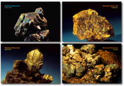
Minerals of Wisconsin Postcards (set of 4)
Set of 4 postcards featuring exquisite specimens of phenakite, galena, marcasite, and chalcocite. (To learn more about these and other minerals, visit our Minerals of Wisconsin database.) -
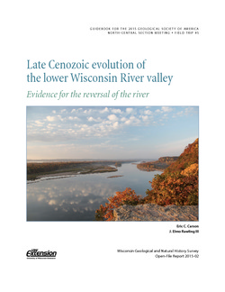
Late Cenozoic Evolution of the Lower Wisconsin River Valley: Evidence for the Reversal of the River
Field trip guidebook describes the evidence suggesting that the Wisconsin River once flowed from west to east. (Prepared for the 2015 Geological Society of America North-Central Section Meeting.) -
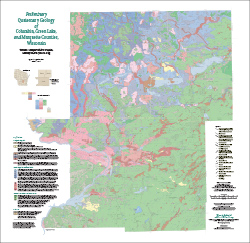
Preliminary Quaternary Geology of Columbia, Green Lake, and Marquette Counties, Wisconsin
This open-file report contains a map (PDF), GIS data (shapefiles), and metadata for Columbia, Green Lake, and Marquette Counties in central Wisconsin.-
Preliminary Quaternary Geology of Columbia, Green Lake, and Marquette Counties, Wisconsin [plate 1]
2015
Map: 35 in x 34 in, scale 1:100,000
-
Preliminary Quaternary Geology of Columbia, Green Lake, and Marquette Counties, Wisconsin [GIS data]
2015
GIS Data: Shapefiles (.shp file format)
-
-
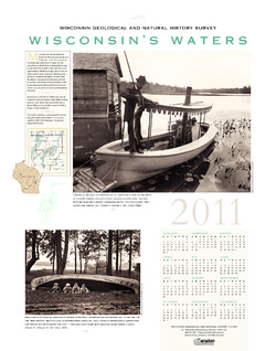
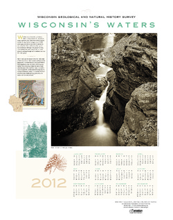
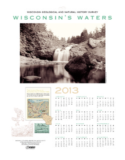
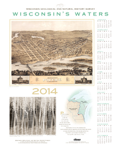
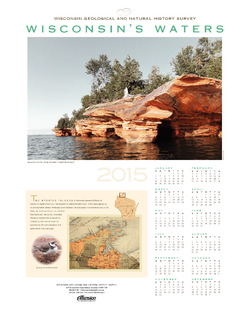
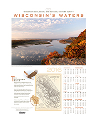
Wisconsin's Waters [2011-2016]
The Survey's annual poster calendar featuring Wisconsin scenery. The 2016 image showcases the Wisconsin River from the Ferry Bluff overlook.

Publications Catalog
Wisconsin Geological and Natural History Survey