-
Assessing Groundwater Quality in Kewaunee County, Wisconsin, and Characterizing the Timing and Variability of Enteric Pathogen Contamination within the Dolomite Aquifer in Northeastern Wisconsin
Documentation of two studies looking at the Silurian dolomite aquifer in northeastern Wisconsin. Researchers quantified the extent of contamination from coliform bacteria, E. coli, and nitrate in Kewaunee County’s private wells. They also examined how wastewater from septic systems and livestock manure interact with environmental conditions and geology... -
Assessing Seasonal Variations in Recharge and Water Quality in the Silurian Aquifer in Areas with Thicker Soil Cover
Documentation of variations in groundwater levels and selected water-quality parameters in four wells completed in the Silurian dolomite aquifer in northeast Wisconsin (Brown, Calumet, Kewaunee, and Manitowoc Counties).-
Assessing Seasonal Variations in Recharge and Water Quality in the Silurian Aquifer in Areas with Thicker Soil Cover
2019
Report: 38 p. + appendix (4 oversized pages)
-
-
Methods and Best Practices for Surveying Springs in Wisconsin
Description of the field methods and data management procedures used to produce the Springs Inventory (see Bulletin 113). -
An Inventory of Springs in Wisconsin
Report, database, field protocol, photos, and site sketches documenting the multi-year project inventorying springs in Wisconsin with discharge rates of at least 0.25 cubic feet per second. -
Hydrogeologic Atlas of Bayfield County, Wisconsin
Analysis of the groundwater resources in Bayfield County, Wisconsin. Includes report, five plates, and digital data.-
Hydrogeologic Atlas of Bayfield County, Wisconsin [appendices]
2019
Data: Documents (.pdf file format)
-
Hydrogeologic Atlas of Bayfield County, Wisconsin [GIS data]
2019
GIS Data: File geodatabase (.gdb file format)
-
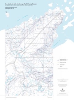
Generalized Water-Table Elevation Map of Bayfield County, Wisconsin [plate 1]
2019
Plate: 29.5 in x 39.5 in, scale 1:100,000
-
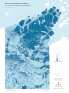
Depth to Water Table Map of Bayfield County, Wisconsin [plate 2]
2019
Plate: 29.5 in x 39.5 in, scale 1:100,000
-
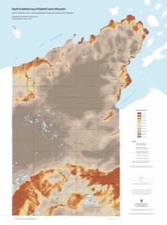
Depth to Bedrock Map of Bayfield County, Wisconsin [plate 3]
2019
Plate: 29.5 in x 39.5 in, scale 1:100,000
-
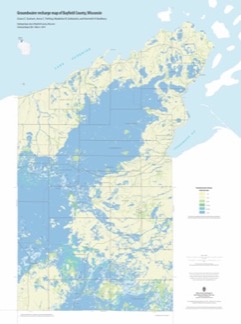
Groundwater Recharge Map of Bayfield County, Wisconsin [plate 4]
2019
Plate: 29.5 in x 39.5 in, scale 1:100,000
-
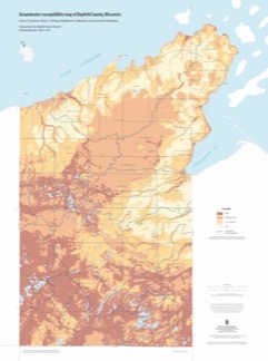
Groundwater Susceptibility Map of Bayfield County, Wisconsin [plate 5]
2019
Plate: 29.5 in x 39.5 in, scale 1:100,000
-
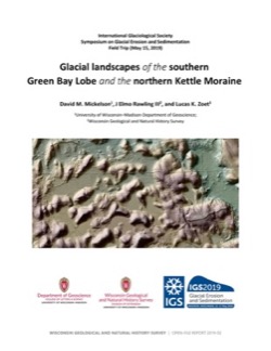
Glacial Landscapes of the Southern Green Bay Lobe and the Northern Kettle Moraine
Field trip guidebook from the International Glaciological Society Symposium on Glacial Erosion and Sedimentation, May 15, 2019. -
Geochemistry and Mineralogy of the Wonewoc-Tunnel City Contact Interval Strata in Western Wisconsin
Results of regional study characterizing the elemental composition of rocks found at the Wonewoc-Tunnel City contact interval in west-central and southwest Wisconsin.-
Geochemistry and Mineralogy of the Wonewoc-Tunnel City Contact Interval Strata in Western Wisconsin [appendices]
2019
Data: Documents (.pdf file format), spreadsheets (.xlsx file format)
-
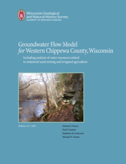
Groundwater Flow Model for Western Chippewa County
This report documents the groundwater flow model that was developed for western Chippewa County, Wisconsin. It also presents analyses that were run to evaluate how industrial sand (frac sand) mining and irrigated agriculture--might affect the water table and base flows of nearby headwater streams.-
Groundwater Flow Model for Western Chippewa County, Wisconsin, Including Analysis of Water Resources Related to Industrial Sand Mining and Irrigated Agriculture [appendices]
2019
Data: Spreadsheets (.xlsx file format), documents (.pdf file format)
Publications Catalog
Wisconsin Geological and Natural History Survey

