-
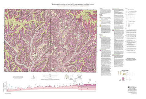
Geologic Map of the Fennimore and Mount Hope 7.5-Minute Quadrangles, Grant County, Wisconsin
The geologic map of the Fennimore and Mount Hope quadrangles includes 1:24,000-scale mapping of both surficial and bedrock geology. The mapping was initiated to support groundwater studies in the area. The map and accompanying report present the Paleozoic bedrock stratigraphy, including structures, as well as data from three new bedrock drill cores...-
Geologic Map of the Fennimore and Mount Hope 7.5-Minute Quadrangles, Grant County, Wisconsin
2023
Map: 53 in x 36 in, scale 1:24,000
-
Geologic Log Data for the Geologic Map of the Fennimore and Mount Hope 7.5-Minute Quadrangles, Grant County, Wisconsin [dataset 1]
2023
Data: Spreadsheets (.xlsx file format)
-
GIS Data for the Geologic Map of the Fennimore and Mount Hope 7.5-Minute Quadrangles, Grant County, Wisconsin [dataset 2]
2023
GIS Data: GeMS Level 1 file geodatabase (.gdb file format)
-
-
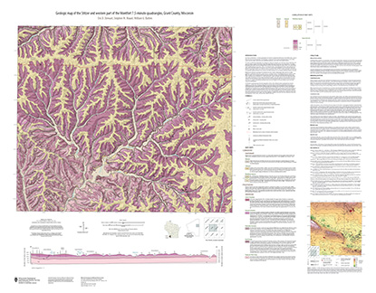
Geologic map of the Stitzer and western part of the Montfort 7.5-minute quadrangles, Grant County, Wisconsin
The geologic map of the Stitzer and western part of the Montfort quadrangles includes 1:24,000-scale mapping of both surficial and bedrock geology. This area occurs at the northern margin of the historic Upper Mississippi Valley lead and zinc mining district. Paleozoic strata are folded into a regionally-significant anticline, and mapping was initiated to...-
Geologic map of the Stitzer and western part of the Montfort 7.5-minute quadrangles, Grant County, Wisconsin
2023
Map: 46.15 in x 36 in, scale 1:24,000
-
GIS data for geologic map of the Stitzer and western part of the Montfort 7.5-minute quadrangles, Grant County, Wisconsin [dataset 1]
2023
GIS Data: GeMS Level 3 file geodatabase (.gdb file format), shapefiles (.shp file format)
-
-
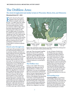
The Driftless Area: The extent of unglaciated and similar terrains in Wisconsin, Illinois, Iowa, and Minnesota
The Driftless Area of southwestern Wisconsin and northwestern Illinois got its name from the lack of glacial sediment ("drift") covering the landscape. The surficial geology and topography of the Driftless Area are thus distinct from the surrounding region where multiple phases of glaciation left their mark. This pamphlet, a collaborative effort between...-
GIS data for the outline of the Driftless Area and similar terrains in Wisconsin, Illinois, Iowa, and Minnesota
2023
GIS Data: Shapefiles (.shp file format)
-
Page-sized and web-version maps of the Driftless Area and similar terrains in Wisconsin, Illinois, Iowa, and Minnesota
2023
Map: Documents (.pdf file format), images (.tif file format)
-
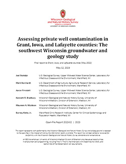
Assessing private well contamination in Grant, Iowa, and Lafayette counties: The southwest Wisconsin groundwater and geology study
The southwest Wisconsin groundwater and geology study (SWIGG) was a cooperative effort between Grant, Iowa, and Lafayette county governments, with scientists from the U.S. Geological Survey, U.S. Department of Agriculture, Marshfield Clinic Research Institute, and WGNHS. Researchers tested water quality in hundreds of private water wells across the three...
Publications Catalog
Wisconsin Geological and Natural History Survey

