-
Evaluation of Groundwater Susceptibility Assessment Systems in Dane County, Wisconsin
Open-file report; contains unpublished data that has not yet been peer-reviewed. -
Groundwater Quality Investigation Maps of Polk County, Wisconsin
Includes Plate 1: Nitrate as Nitrogen in mg/L. Plate 2: Chloride in mg/L. Plate 3: Laboratory Measurement of Alkalinity in mg/L. Plate 4: Total Hardness in mg/L. Plate 5: Laboratory Measurement of Electrical Conductivity in μmhos/cm. Plate 6: Ferrous Iron in mg/L.-
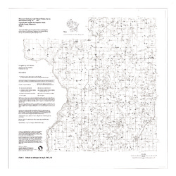
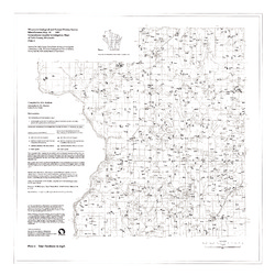
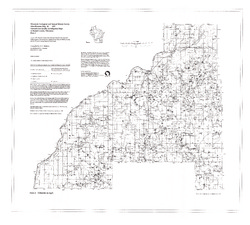
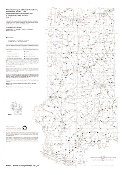
Groundwater Quality Investigation Maps of Polk County, Wisconsin: Nitrate as Nitrogen in mg/L [plate 1]
1997
Map: 30 in x 30 in, scale 1:100,000
-
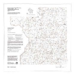
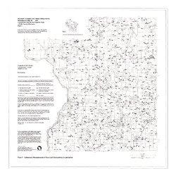
Groundwater Quality Investigation Maps of Polk County, Wisconsin: Chloride in mg/L [plate 2]
1997
Map: 30 in x 30 in, scale 1:100,000
-
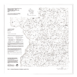
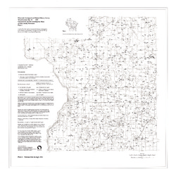
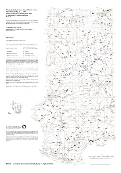
Groundwater Quality Investigation Maps of Polk County, Wisconsin: Laboratory Measurement of Alkalinity in mg/L [plate 3]
1997
Map: 30 in x 30 in, scale 1:100,000
-
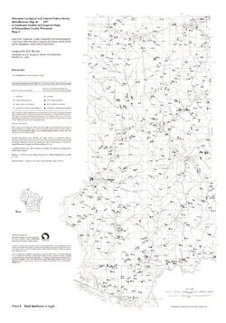
Groundwater Quality Investigation Maps of Polk County, Wisconsin: Total Hardness in mg/L [plate 4]
1997
Map: 30 in x 30 in, scale 1:100,000
-
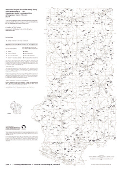
Groundwater Quality Investigation Maps of Polk County, Wisconsin: Laboratory Measurement of Electrical Conductivity in ?mhos/cm [plate 5]
1997
Map: 30 in x 30 in, scale 1:100,000
-
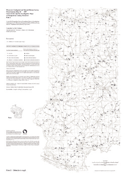
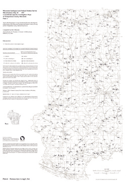
Groundwater Quality Investigation Maps of Polk County, Wisconsin: Ferrous Iron in mg/L [plate 6]
1997
Map: 30 in x 30 in, scale 1:100,000
-
-
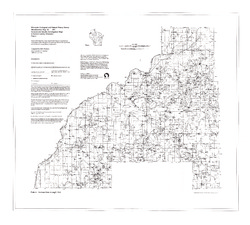
Groundwater Quality Investigation Maps of Burnett County, Wisconsin
-
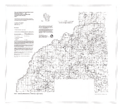
Groundwater Quality Investigation Maps of Burnett County, Wisconsin: Nitrate as Nitrogen in mg/L [plate 1]
1997
Map: 35.2 in x 31.8 in, scale 1:100,000
-
Groundwater Quality Investigation Maps of Burnett County, Wisconsin: Chloride in mg/L [plate 2]
1997
Map: 34.8 in x 31.3 in, scale 1:100,000
-
Groundwater Quality Investigation Maps of Burnett County, Wisconsin: Laboratory Measurement of Alkalinity in mg/L [plate 3]
1997
Map: 34.7 in x 31.3 in, scale 1:100,000
-
Groundwater Quality Investigation Maps of Burnett County, Wisconsin: Total Hardness in mg/L [plate 4]
1997
Map: 35.2 in x 31.7 in, scale 1:100,000
-
Groundwater Quality Investigation Maps of Burnett County, Wisconsin: Laboratory Measurement of Electrical Conductivity in ?mhos/cm [plate 5]
1997
Map: 35.5 in x 32 in, scale 1:100,000
-
Groundwater Quality Investigation Maps of Burnett County, Wisconsin: Ferrous Iron in mg/L [plate 6]
1997
Map: 35.5 in x 32 in, scale 1:100,000
-
-
Groundwater Quality Investigation Maps of Trempealeau County, Wisconsin
Includes Plate 1: Nitrate as Nitrogen in mg/L. Plate 2: Chloride in mg/L. Plate 3: Laboratory Measurement of Alkalinity in mg/L. Plate 4: Total Hardness in mg/L. Plate 5: Laboratory Measurement of Electrical Conductivity in μmhos/cm. Plate 6: Ferrous Iron in mg/L.-
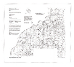
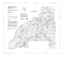
Groundwater Quality Investigation Maps of Trempealeau County, Wisconsin: Nitrate as Nitrogen in mg/L [plate 1]
1997
Map: 21 in x 30 in, scale 1:100,000
-
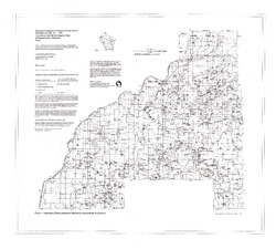
Groundwater Quality Investigation Maps of Trempealeau County, Wisconsin: Chloride in mg/L [plate 2]
1997
Map: 21 in x 30 in, scale 1:100,000
-
Groundwater Quality Investigation Maps of Trempealeau County, Wisconsin: Laboratory Measurement of Alkalinity in mg/L [plate 3]
1997
Map: 21 in x 30 in, scale 1:100,000
-
Groundwater Quality Investigation Maps of Trempealeau County, Wisconsin: Total Hardness in mg/L [plate 4]
1997
Map: 21 in x 30 in, scale 1:100,000
-
Groundwater Quality Investigation Maps of Trempealeau County, Wisconsin: Laboratory Measurement of Electrical Conductivity in ?mhos/cm [plate 5]
1997
Map: 21 in x 30 in, scale 1:100,000
-
Groundwater Quality Investigation Maps of Trempealeau County, Wisconsin: Ferrous Iron in mg/L [plate 6]
1997
Map: 20 in x 30 in, scale 1:100,000
-

Publications Catalog
Wisconsin Geological and Natural History Survey