-
Impacts of Land Use and Groundwater Flow on the Temperature of Wisconsin Trout Streams: Final Report
Open-file report; contains unpublished data that has not yet been peer-reviewed. -
Delineation of Zones of Contribution for Municipal Wells in Rock County, Wisconsin: Final Report
Open-file report; contains unpublished data that has not yet been peer-reviewed. -
Hydrologic Assessment of the Kickapoo Watershed, Southwestern Wisconsin
Open-file report; contains unpublished data that has not yet been peer-reviewed.-
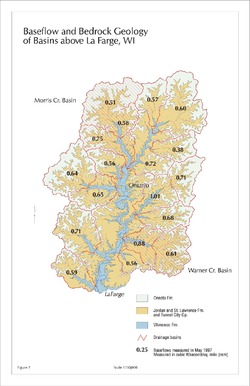
Baseflow and Bedrock Geology of Basins Above La Farge, WI [figure 7]
1998
Map: 11 in x 17 in, scale 1:150,000
-
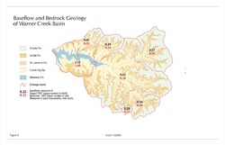
Baseflow and Bedrock Geology of Warner Creek Basin [figure 8]
1998
Map: 17 in x 11 in, scale 1:50,000
-
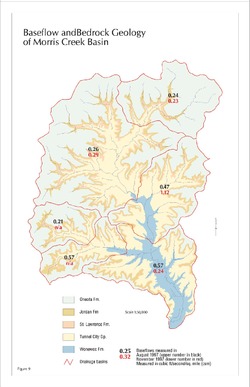
Baseflow and Bedrock Geology of Morris Creek Basin [figure 9]
1998
Map: 11 in x 17 in, scale 1:50,000
-
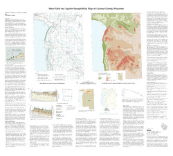
Water-Table and Aquifer Susceptibility Maps of Calumet County, Wisconsin
-
Water-Table and Aquifer-Susceptibility Maps of Calumet County, Wisconsin
2006
Map: 40.3 in x 36.3 in, scale 1:100,000
-
Water-Table and Aquifer-Susceptibility Maps of Calumet County, Wisconsin [GIS data]
2006
Map: Coverage (.e00 file format)
-

Publications Catalog
Wisconsin Geological and Natural History Survey