-
Wisconsin Bedrock Topography, 100-Meter Resolution
The elevation of the bedrock surface in Wisconsin is an important metric for decision makers around the state. Here, data and interpretations from a variety of sources were compiled to model the statewide, three-dimensional bedrock surface using modern GIS tools.-
Wisconsin Bedrock Topography, 100-Meter Resolution [dataset 1]
2026
GIS Data: File geodatabase (.gdb file format)
-
-
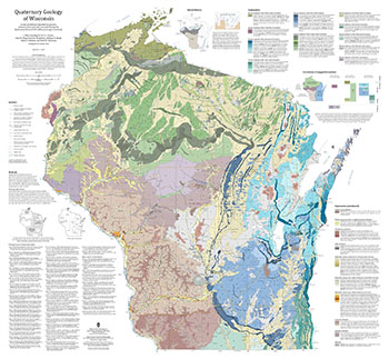
Quaternary Geology of Wisconsin
This 1:500,000 scale map of Wisconsin depicts sediment deposited by glaciers, streams, wind, and other processes during the Quaternary Period (2.58 million years ago to present). The map was made by compiling detailed Quaternary mapping and lithostratigraphic studies previously conducted by the WGNHS to generate consistent statewide Quaternary map units....-
GIS Data for the Quaternary Geology of Wisconsin (revised 2025) [dataset 1]
2025
GIS Data: GeMS file geodatabase, GeoPackage, shapefiles, metadata

Publications Catalog
Wisconsin Geological and Natural History Survey