-
Wisconsin Groundwater-Level Monitoring Network Improvements, 2022-2024
This report documents work completed as part of a grant from the U.S. Geological Survey's National Groundwater Monitoring Network (NGWMN) program. It provides an overview of the Wisconsin Groundwater-Level Monitoring Network (WGLMN) and provides detailed description of well evaluation and repair activities, and drilling of new monitoring wells across the... -
Quaternary Geology of the Peshtigo River State Forest Area
Open-file report; contains unpublished data that has not yet been peer-reviewed. -
Aggregate Resources of the Sinnipee Group in Eastern and Southern Wisconsin
Open-file report; contains unpublished data that has not yet been peer-reviewed. -
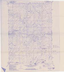
Compilation of Outcrops of Precambrian Rock in Northern Oconto County and Adjacent Segments of Forest, Langlade, Marinette, and Menominee Counties, Northeastern Wisconsin
Open-file report; contains unpublished data that has not yet been peer-reviewed. -
Merging Pleistocene Lithostratigraphy with Geotechnical and Hydrogeologic Data--Examples from Eastern Wisconsin
Open-file report; contains unpublished data that has not yet been peer-reviewed. -
Analytical Data of Precambrian Granitic Rock from Northeastern Wisconsin
Open-file report; contains unpublished data that has not yet been peer-reviewed. -
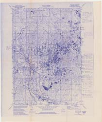
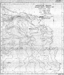
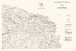
Bouguer Gravity Anomaly Map of Northeastern Wisconsin
Open-file report; contains unpublished data that has not yet been peer-reviewed. -
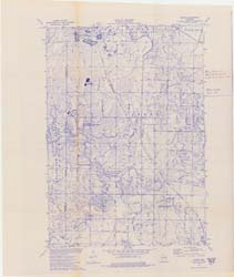
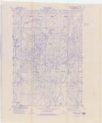
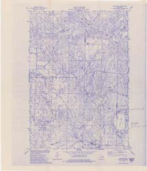
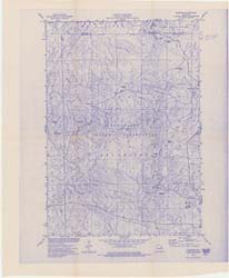
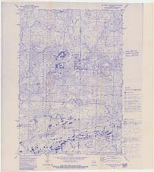
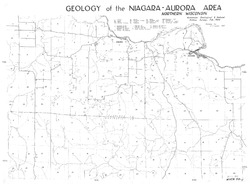
Geology of the Niagara-Aurora Area
Open-file report; contains unpublished data that has not yet been peer-reviewed. -
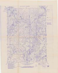
Appraisal of Granite Properties in Marinette County
Open-file report; contains unpublished data that has not yet been peer-reviewed. -
Bedrock Geology of Wisconsin, Northeast Sheet
Types of bedrock, formation names, major faults, and time period of formation.-
Bedrock Geology of Wisconsin, Northeast Sheet [GIS data]
1984
GIS Data: GeMS file geodatabase (.gdb file format)
-
A Subsurface Study of the St. Peter Sandstone in Southern and Eastern Wisconsin
-
Structure Contour Map of the Pre-St. Peter Sandstone Erosion Surface in Southern and Eastern Wisconsin [plate 1]
1985
Map: 39.7 in x 23.5 in, scale 1:750,000
-
Paleogeologic Map of the Pre-St. Peter Sandstone Surface in Southern and Eastern Wisconsin & Thickness Map of the St. Peter Sandstone in Southern and Eastern Wisconsin [plate 2]
1985
Map: 39.4 in x 23.6 in, scale 1:750,000
-
Geoscience Wisconsin Volume 13
-
Precambrian Metamorphism in the Southern Lake Superior Region and Its Bearing on Crustal Evolution
1989
Journal Article: p. 1-33
-
U.S. Department of Energy Publications on Uranium and Radiometric Surveys of Wisconsin
1989
Journal Article: p. 62-66
-
Geoscience Wisconsin Volume 12
-
Subsurface Stratigraphic Relationships of the Upper Silurian and Devonian Rock of Milwaukee County, Wisconsin
1988
Journal Article: p. 1-23
-
Petrochemistry of Precambrian Granitic Rock from Northeastern Wisconsin
1988
Journal Article: p. 45-61
-
Seismic Refraction Measurements in Bedrock of the Trout Lake Region of Vilas County, Northern Wisconsin
1988
Journal Article: p. 63-76
-
Seasonal Geochemistry of Two Tufa-Depositing Springs in Southwestern Wisconsin
1988
Journal Article: p. 77-83
-
Geoscience Wisconsin Volume 09
-
The Geology of the Lower Proterozoic McCaslin Formation, Northeastern Wisconsin
1984
Journal Article: p. 1-19
-
Stratigraphy and History of Glacial Deposits Along Wisconsin's Lake Superior Shoreline - Wisconsin Point to Bark Point
1984
Journal Article: p. 21-51
-
Geoscience Wisconsin Volume 08
-
The Pleistocene Stratigraphy and Geomorphology of Central-Southern Wisconsin and Part of Northern Illinois
1983
Journal Article: p. 22-44
-
Geophysical Evidence That the Haeger Till Member Underlies Southern Western Lake Michigan
1983
Journal Article: p. 45-58
-
Geoscience Wisconsin Volume 06
-
A Summary of the Duval Massive Sulfide Deposit, Marinette County, Wisconsin
1982
Journal Article: p. 11-20
-
Some Aspects of the Petrologic and Tectonic History of the Precambrian Rocks of Waterloo, Wisconsin
1982
Journal Article: p. 21-40

Publications Catalog
Wisconsin Geological and Natural History Survey