-
Industrial Sand Resources of West-Central Wisconsin
Field trip guidebook showcasing four sites in Trempealeau County in west-central Wisconsin. The focus of this trip is on the sandstone formations that are prized for frac sand mining. (A draft of this book was originally prepared for the 2017 American Institute of Professional Geologists (AIPG) Sand Mine Life Cycle Seminar held in Eau Claire, Wisconsin.) -
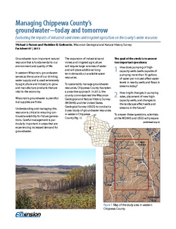
Managing Chippewa County's Groundwater--Today and Tomorrow: Evaluating the Impacts of Industrial Sand Mines and Irrigated Agriculture on the County's Water Resources
In 2012, Chippewa County commissioned the Wisconsin Geological Survey and the U.S. Geological Survey to conduct a 5-year study of the groundwater resources in the western part of the county. This 4-page publication describes the study and the computer models being developed for it. -
Industrial Sand Potential in Wisconsin: Sandstone at or near the Surface
Shows where sandstone can be found within 100 ft (30 m) of the surface.-
Industrial Sand Potential in Wisconsin: Sandstone at or Near the Surface
2013
Map: 21 in x 22.5 in, scale 1:1,000,000
-
-
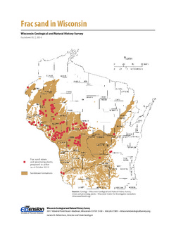
Frac Sand in Wisconsin
The state's golden sands have inspired Wisconsin's version of a gold rush. This 2-page fact sheet shows where sandstone formations occur in Wisconsin, where frac sand is being mined and processed, why our sand is so popular, and how it's being used. -
Irrigable Lands Inventory--Phase I Groundwater and Related Information
This paper contains hydrogeologic information for the Golden Sands Resource Conservation and Development Area in central Wisconsin. The set of maps includes water-table elevation maps for the following counties: Adams, Jackson, Juneau, Marathon, Marquette, Monroe, Portage, Waupaca, Waushara, and Wood (scale 1:126,720). It also includes a regional aquifer...-
Irrigable Lands Inventory - Phase I Groundwater and Related Information
1981
Report: 13 p., 11 maps, scale 1:126,720 and 1:500,000
- 2 more...
-
-
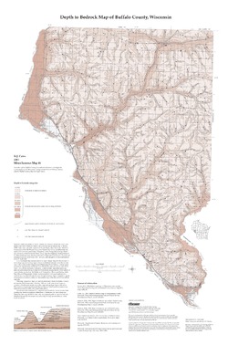
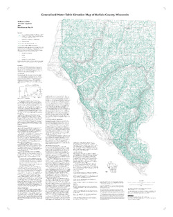
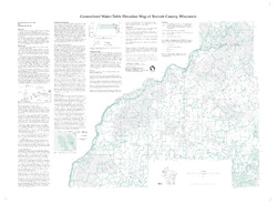
Generalized Water-Table Elevation Map of Buffalo County, Wisconsin
-
Generalized Water-Table Elevation Map of Buffalo County, Wisconsin
2000
Map: 28 in x 35 in, scale 1:100,000
-
-
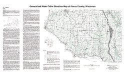
Generalized Water-Table Elevation Map of Polk County, Wisconsin
-
Generalized Water-Table Elevation Map of Polk County, Wisconsin
2000
Map: 43 in x 29 in, scale 1:100,000
-
-
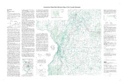
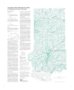
Generalized Water-Table Elevation Map of Trempealeau County, Wisconsin
-
Generalized Water-Table Elevation Map of Trempealeau County, Wisconsin
1998
Map: 27 in x 33 in, scale 1:100,000
-
Generalized Water-Table Elevation Map of Trempealeau County, Wisconsin" [GIS data]
1998
Map: Coverage (.e00 file format)
-
-
Generalized Water-Table Elevation Map of Burnett County, Wisconsin
-
Generalized Water-Table Elevation Map of Burnett County, Wisconsin
1998
Map: 38 in x 28 in, scale 1:100,000
-
-
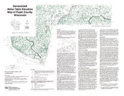
Generalized Water-Table Elevation of Pepin County, Wisconsin
-
Generalized Water-Table Elevation Map of Pepin County, Wisconsin
1993
Map: 25 in x 19.3 in, scale 1:100,000
-
-
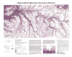
Generalized Water-Table Elevation of Eau Claire County, Wisconsin
-
Generalized Water-Table Elevation Map of Eau Claire County, Wisconsin
1992
Map: 24.5 in x 25 in, scale 1:100,000
-
-
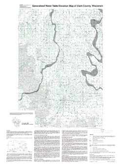
Generalized Water-Table Elevation of Clark County, Wisconsin
-
Generalized Water-Table Elevation Map of Clark County, Wisconsin
1990
Map: 27.5 in x 38 in, scale 1:100,000
-
-
Bedrock Geology of Wisconsin, West-Central Sheet
Types of bedrock, formation names, major faults, and time period of formation.-
Bedrock Geology of Wisconsin, West-Central Sheet [GIS data]
1988
GIS Data: GeMS file geodatabase (.gdb file format)
-
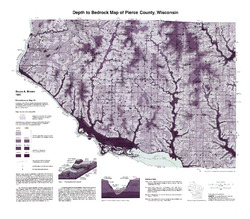
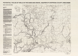
Potential Yields of Wells in the Sand and Gravel Aquifer of Chippewa County, Wisconsin
-
Potential Yields of Wells in the Sand-and-Gravel Aquifer of Chippewa County, Wisconsin
1988
Map: 31 in x 22.5 in, scale 1:100,000
-

Publications Catalog
Wisconsin Geological and Natural History Survey