-
Report on Lead and Zinc Deposits of Wisconsin, with an Atlas of Detailed Geologic and Topographic Maps of Southwestern Wisconsin
-
Report on the Lead and Zinc Deposits of Wisconsin With an Atlas of Detailed Maps
1906
Report: 100 p.
-
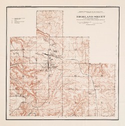
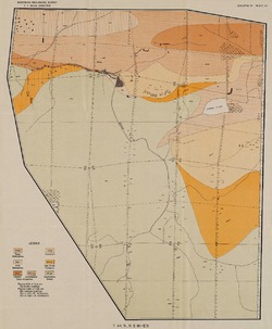
Highland Sheet of the Lead and Zinc District [topography] [plate 1]
1906
Map: 19.1 in x 19.2 in, scale 4 in = 1 mile
-
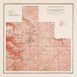
Highland Sheet of the Lead and Zinc District [geology] [plate 2]
1906
Map: 19.1 in x 19.1 in, scale 4 in = 1 mile
-
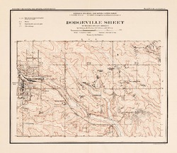
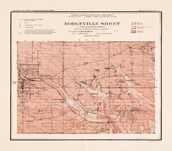
Dodgeville Sheet of the Lead and Zinc District [topography] [plate 3]
1906
Map: 14.8 in x 12.9 in, scale 4 in = 1 mile
-
Dodgeville Sheet of the Lead and Zinc District [geology] [plate 4]
1906
Map: 15.0 in x 13.2 in, scale 4 in = 1 mile
-
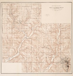
Mineral Point Sheet of the Lead and Zinc District [topography] [plate 5]
1906
Map: 19.9 in x 20.7 in, scale 4 in = 1 mile
-
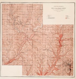
Mineral Point Sheet of the Lead and Zinc District [geology] [plate 6]
1906
Map: 19.9 in x 20.7 in, scale 4 in = 1 mile
-
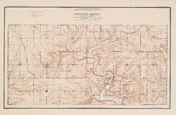
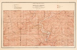
Mifflin Sheet of the Lead and Zinc District [topography] [plate 7]
1906
Map: 24.5 in x 17.3 in, scale 4 in = 1 mile
-
Mifflin Sheet of the Lead and Zinc District [geology] [plate 8]
1906
Map: 26.1 in x 16.8 in, scale 4 in = 1 mile
-
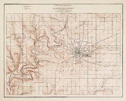
Platteville Sheet of the Lead and Zinc District [topography] [plate 9]
1906
Map: 20.6 in x 16.5 in, scale 4 in = 1 mile
- 16 more...
-
-
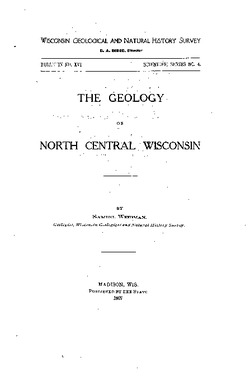
The Geology of North Central Wisconsin
-
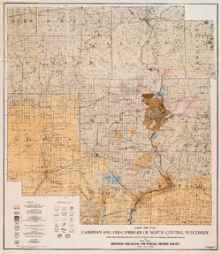
Map of the Cambrian and Pre-Cambrian of North Central Wisconsin: Clark, Wood, Portage, Marathon, Lincoln, Taylor and Parts of Langlade, Rusk and Price Counties [plate 1]
1907
Map: 20.0 in x 22.9 in, scale 1 in = 3 miles
-
Map of the Pleistocene of North Central Wisconsin: Clark, Wood, Portage, Marathon, Lincoln, Taylor and Parts of Langlade, Rusk and Price Counties [plate 2]
1907
Map: 20.1 in x 23.1 in, scale 1 in = 3 miles
-
Map Showing Rock Outcrops in Vicinity of Athens and Upper Rib River [plate 8]
1907
Map: 13.6 in x 8.8 in
-
Map Showing Rock Outcrops in Vicinity of Arpin and Junction City [plate 12]
1907
Map: 15.1 in x 9.9 in
-
Map Showing Rock Outcrops in Vicinity of Hewitt and Rozellville [plate 15]
1907
Map: 10.9 in x 7.5 in
-
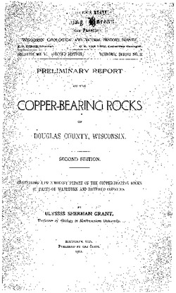
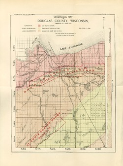
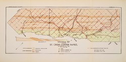
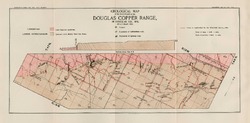
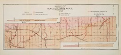
Preliminary Report on the Copper-Bearing Rocks of Douglas County, Wisconsin
-
Geological Map of Part of the St. Croix Copper Range, in Douglas Co., Wis. [plate 7]
1900
Map: Scale 1 in = 4 miles
-
Geological Map of the Western Part of the Douglas Copper Range, in Douglas Co., Wis. [plate 8]
1900
Map: Scale 1 in = 4 miles
-
Geological Map of the Eastern Part of the Douglas Copper Range, in Douglas Co., Wis. [plate 9]
1900
Map: Scale 1 in = 4 miles
-
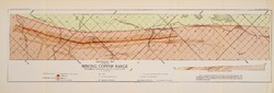
Geological Map of Part of the Minong Copper Range in Washburn, Douglas and Bayfield Counties, Wis. [plate 13]
1900
Map: Scale 1 in = 4 miles
-
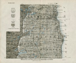
The Geography and Economic Development of Southeastern Wisconsin
-
Geological and Road Map of Southeastern Wisconsin [plate 1]
1921
Map: 11.2 in x 9.4 in, scale 1 in = 6 miles
-
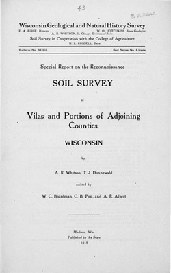
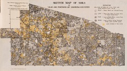
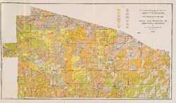
Special Report on the Reconnoissance [sic] Soil Survey of Vilas and Portions of Adjoining Counties, Wisconsin
-
Reconnoissance [sic] Soil Map of Vilas and Portions of Adjoining Counties
1915
Map: 24.6 in x 14.5 in, scale 1/2 in = 1 mile
-
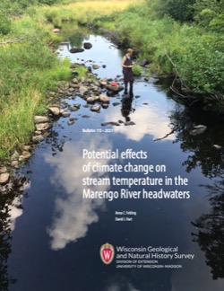
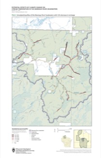
Potential Effects of Climate Change on Stream Temperature in the Marengo River Headwaters
Cold-water trout habitat in Wisconsin is projected to substantially decrease as a result of climate change. The extent of habitat loss depends, in part, on groundwater discharge to streams, which can provide cool-water refuges for trout. Survey hydrogeologists used field measurements and models of groundwater flow and stream temperature to evaluate how...-
GFLOW Groundwater Flow Model of the Marengo River Headwaters [dataset 1]
2021
Data: Groundwater flow model (.gfl file format), shapefiles (.shp file format)
-
Geodatabase - Three Baseflow Scenarios for the Marengo River Headwaters [dataset 2]
2021
GIS Data: File geodatabase (.gdb file format)
-
Measurements of Water Chemistry, Streamflow, and Stream Temperature from the Marengo River Headwaters [dataset 3]
2021
Data: Spreadsheets (.xlsx file format)
-
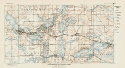
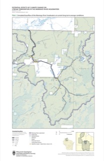
Simulated Baseflow of the Marengo River Headwaters with 21% Increase in Recharge [plate 2]
2021
Map: 11 in x 17 in
-
Simulated Baseflow of the Marengo River Headwaters with 12% Decrease in Recharge [plate 3]
2021
Map: 11 in x 17 in
-
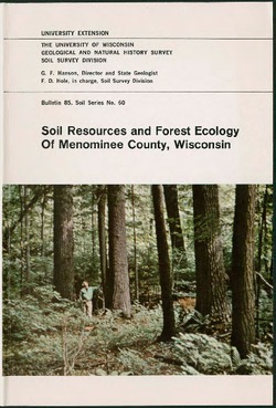
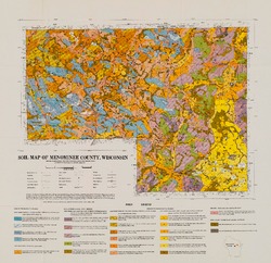
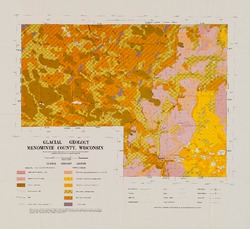
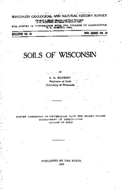
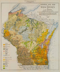
Soils of Wisconsin
This book is divided into three parts: Part 1 looks at the factors of soil formation, the properties of Wisconsin soils, and a classification of soil. Part 2 is a study of the characteristics of Wisconsin soil associations. Part 3 describes properties of the soil series, major soil sequences and their estimated acreages. -
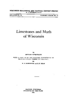
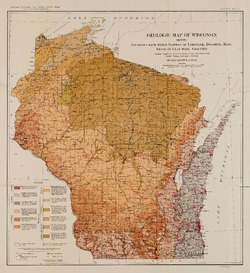
Limestones and Marls of Wisconsin
-
Geologic Map of Wisconsin Showing Locations From Which Samples of Limestone, Dolomite, Marl, Shale or Clay Were Analyzed [plate 6]
1924
Map: 15.5 in x 16.9 in, scale 1:1,000,000

Publications Catalog
Wisconsin Geological and Natural History Survey