-
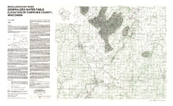
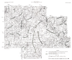
Generalized Water-Table Elevation of Chippewa County, Wisconsin
-
GIS Data for the Generalized Water-Table Elevation of Chippewa County, Wisconsin [dataset 1]
1988
GIS Data: File geodatabase, metadata
-
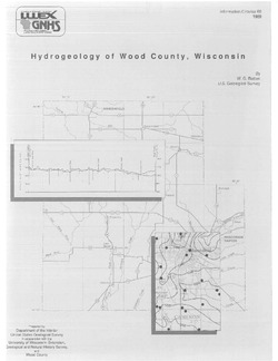
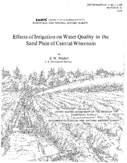
Effects of Irrigation on Water Quality in the Sand Plain of Central Wisconsin
-
Effects of Irrigation on Water Quality in the Sand Plain of Central Wisconsin
1978
Report: 50 p. + map (scale 1:24,000)
-
-
Geochemical Prospecting by Spring Sampling in the Southwest Wisconsin Zinc Mining Area
-
Geochemical Prospecting by Spring Sampling in the Southwest Wisconsin Zinc Mining Area
1969
Report: 28 p. + map (scale 1:125,000)
-
-
Bedrock Geology of Grant County, Wisconsin
Three-dimensional bedrock mapping of Grant County at a scale of 1:100,000 provides new baseline information on the distribution of geologic units. Grant County contains Paleozoic bedrock units ranging in age from Silurian to Cambrian. Gentle folds and small faults deform the Paleozoic sequence and were mapped based on structure contours of the base of the...-
GIS Data for Bedrock Geology of Grant County, Wisconsin [dataset 1]
2025
GIS Data: GeMS Level 3 file geodatabase (.gdb), GeoPackage, metadata
-
Geochemical Data for Bedrock Geology of Grant County, Wisconsin [dataset 2]
2025
Data: Spreadsheet (.csv)
-
GIS Data for Bedrock Geology of Grant County, Wisconsin [dataset 3]
2025
GIS Data: File geodatabase (.gdb) raster datasets, metadata
-
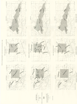
Central Sands Lakes Study: Annotated Bibliography
The authors of this open-file report scoured the literature for previous studies about the Central Sands area. This bibliography provides an overview of available research related to the hydrogeologic setting and water-budget components of the Central Sands Lakes Study (CSLS). -
Portable X-Ray Fluorescence (pXRF) Measurements of Uranium and Thorium in Madison, Wisconsin, Water Utility Wells 4 and 27
Concentrations of radium at or above the health standard in a Madison municipal well prompted the water utility to request assistance from the Wisconsin Geological and Natural History Survey to better understand the source of the radium. This report documents a series of analyses performed on the elemental composition of rock samples from the affected...-
Portable X-Ray Fluorescence (pXRF) Measurements of Uranium and Thorium in Madison, Wisconsin, Water Utility Wells 4 and 27
2017
Report: 10 p. (report) + 28 p. (2 appendices)
-
-
Hydrogeology of Fort McCoy Geothermal Test Well 5
Test hole drilled to 1,000 feet on Fort McCoy property provides data for understanding the geothermal gradient in Wisconsin and the hydrogeologic conditions found at Fort McCoy.-
Hydrogeology of Fort McCoy Geothermal Test Well 5 [appendices]
2016
Data: PDF files + Excel spreadsheet
-
Sources of naturally occurring chromium in bedrock aquifers underlying Madison, Wisconsin
Open-file report; contains unpublished data that has not yet been peer-reviewed.-
Sources of Naturally Occurring Chromium in Bedrock Aquifers Underlying Madison, Wisconsin [appendices]
2012
Data: Data files (tab-delimited)
-
Human Viruses as Tracers of Wastewater Pathways into Deep Municipal Wells
Open-file report; contains unpublished data that has not yet been peer-reviewed. -
Assessing the Ecological Status and Vulnerability of Springs in Wisconsin
Open-file report; contains unpublished data that has not yet been peer-reviewed.-
Assessing the Ecological Status and Vulnerability of Springs in Wisconsin [GIS Data]
2008
GIS Data: Shapefiles, JPEG images, Microsoft Access database
-
Source Term Review for the Tailings Management Area and Reclaim Pond at the Proposed Crandon Mine, Forest County, Wisconsin
Open-file report; contains unpublished data that has not yet been peer-reviewed. -
Verification and Characterization of a Fracture Network within the Maquoketa Shale Confining Unit, Southeastern Wisconsin
Open-file report; contains unpublished data that has not yet been peer-reviewed. -
Hydraulic Conductivity and Specific Storage of the Maquoketa Shale
Open-file report; contains unpublished data that has not yet been peer-reviewed. -
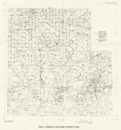
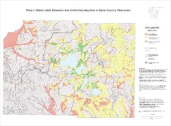
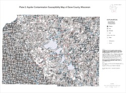
Hydrogeology of Dane County, Wisconsin
Open-file report; contains unpublished data that has not yet been peer-reviewed.-
Water-Table Elevation and Unlithified Aquifers in Dane County, Wisconsin [plate 1]
1999
Map: 34.5 in x 25.5 in, scale 1:100,000
-
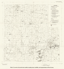
Aquifer Contamination Susceptibility Map of Dane County, Wisconsin [plate 2]
1999
Map: 34.5 in x 25.5 in, scale 1:100,000

Publications Catalog
Wisconsin Geological and Natural History Survey