-
Geology of Wisconsin - Outcrop Descriptions
These descriptions illustrate various geologic formations, features, and characteristics. Individual descriptions are one to ten pages long, and include a map with specific location, a description of geologic features, and a discussion of the geologic significance.-
Adams County: Upper Wisconsin Dells (T14N R6E Sec28)
Report: 3 p.
-
Adams County: Friendship Mound (T17N R6E Sec5)
Report: 2 p.
-
Adams County: Hamilton Mound (T20N R6E Sec36)
Report: 4 p.
-
Ashland County: Mt. Whittelsey (T44N R2W Sec9A)
Report: 3 p.
-
Ashland County: Mellen Gabbro (T45N R2W Sec30)
Report: 3 p.
-
Ashland County: Mellen Granite (T45N R2W Sec31)
Report: 3 p.
-
Ashland County: White River (T46N R4W Sec6)
Report: 2 p.
-
Bayfield County: South Fish Creek (T47N R5W Sec20)
Report: 2 p.
- 123 more...
-
-
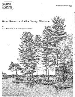
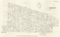
Water Resources of Vilas County, Wisconsin
-
Altitude and Configuration of the Water Table, Vilas County, Wisconsin [plate 1]
1989
Map: 35.5 in x 21.8 in, scale 1:100,000
-
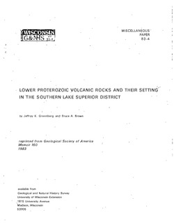
Lower Proterozoic Volcanic Rocks and Their Setting in the Southern Lake Superior District
Reprinted from Geological Society of America Memoir 160.

Publications Catalog
Wisconsin Geological and Natural History Survey