-
Ground-Water Resources and Geology of Washington and Ozaukee Counties, Wisconsin
-
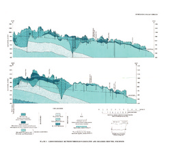
Geohydrologic Sections Through Washington and Ozaukee Counties, Wisconsin [plate 1]
1980
Plate: 19 in x 16 in
-
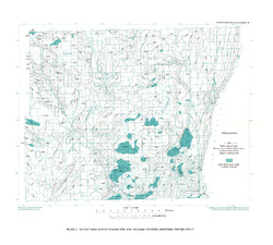
Water-Table Map of Washington and Ozaukee Counties, Wisconsin, Winter 1976-77
1980
Map: 20 in x 18 in, scale 1:125,000
-
Ground-Water Resources and Geology of Columbia County, Wisconsin
-
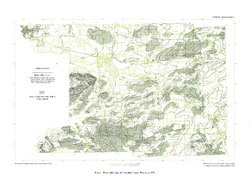
Water-Table Map of Columbia County, Wisconsin, 1974 [plate 1]
1978
Map: 24 in x 18 in, scale 1:24,000
-
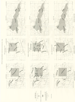
Effects of Irrigation on Water Quality in the Sand Plain of Central Wisconsin
-
Water-Table Maps of the Kellner, Meehan, and Bancroft Subareas, Wisconsin [plate 1]
1978
Map: 32.5 in x 24 in, scale 1:24,000
-
Ground-Water Resources and Geology of Walworth County, Wisconsin
-
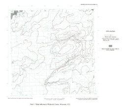
Water-Table Map of Walworth County, Wisconsin, 1973 [plate 1]
1976
Map: 18 in x 15.9 in, scale 1:125,000
-
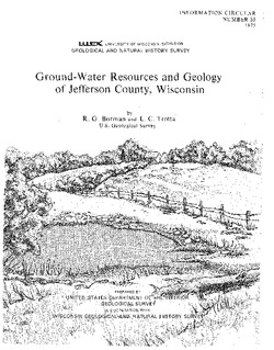
Ground-Water Resources and Geology of Jefferson County, Wisconsin
-
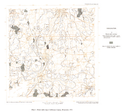
Water-Table Map of Jefferson County, Wisconsin, 1973 [plate 1]
1976
Map: 18 in x 16 in, scale 1 in = 2 miles
-
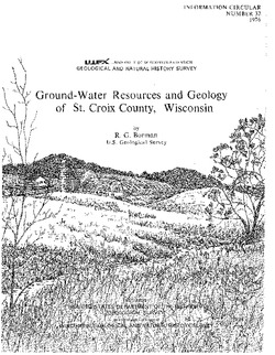
Ground-Water Resources and Geology of St. Croix County, Wisconsin
-
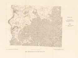
Water-Table Map of St. Croix County, Wisconsin, 1974 [plate 1]
1976
Map: 23.6 in x 17.5 in, scale 1:125,000
-
Ground-Water Resources of Waukesha County, Wisconsin
-
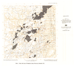
Water Table Map of Waukesha County, Wisconsin, December 1972 [plate 1]
1975
Map: 18 in x 16 in, scale 1:125,000
-
Trends in Ground-Water Levels in Wisconsin, 1967-71
Supplement to Information Circular 9, Trends in Ground-Water Levels in Wisconsin through 1966.

Publications Catalog
Wisconsin Geological and Natural History Survey