-
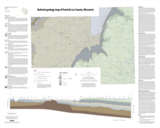
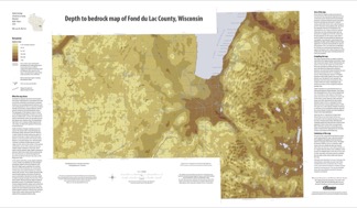
Bedrock Geology of Fond du Lac County, Wisconsin
Two plates showing the bedrock geology and depth to bedrock in Fond du Lac County, Wisconsin. Includes GIS data (shapefiles and grid files).-
GIS Data for the Bedrock Geology of Fond du Lac County, Wisconsin (version 2) [dataset 1]
2018
GIS Data: GeMS file geodatabase, shapefiles, and metadata. Supersedes previous shapefile format (DI version 1)
-
Bedrock Geology Map of Fond du Lac County, Wisconsin [plate 1]
2018
Plate: Scale 1:100,000, 35.75 in x 28.75 in
-
Depth to Bedrock Map of Fond du Lac County, Wisconsin [plate 2]
2018
Plate: Scale 1:100,000, 33 in x 19.25 in
-
-
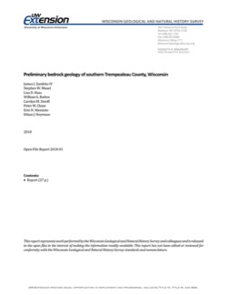
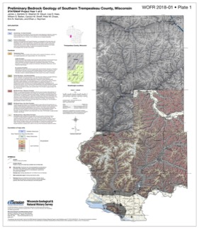
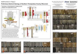
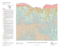
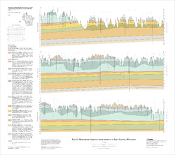
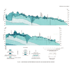
Preliminary Bedrock Geology of Southern Trempealeau County, Wisconsin
This open-file report documents the first year of a two-year mapping project in Trempealeau County, Wisconsin. This preliminary document is being released to encourage input on the mapping methods and map to make the final product as useful as possible. Contains 27-page report, map of southern Trempeleau County, cross section, and photos of drill core.-
Preliminary Bedrock Geology of Southern Trempealeau County, Wisconsin [plate 1]
2018
Plate: 26 in x 30 in, scale 1:100,000
-
Preliminary Bedrock Geology of Southern Trempealeau County, Wisconsin [plate 2]
2018
Plate: 27.8 in x 24.85 in
-
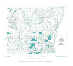
Preliminary Geology of Iowa County, Wisconsin
Open-file report; contains unpublished data that has not yet been peer-reviewed.-
Preliminary Bedrock Geology of Iowa County, Wisconsin (version 2) [GIS data]
2010
GIS Data: GeMS file geodatabase and metadata, supersedes previous shapefile format (DI version 1)
-
Preliminary Geologic Map of Iowa County, Wisconsin [plate 1]
2010
Map: 28 in x 22 in, scale 1:100,000
-
-
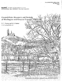
Ground-Water Resources and Geology of Washington and Ozaukee Counties, Wisconsin
-
Ground-Water Resources and Geology of Washington and Ozaukee Counties, Wisconsin
1980
Report: 37 p. + map and cross sections (scale 1:125,000)
-
Water-Table Map of Washington and Ozaukee Counties, Wisconsin, Winter 1976-77
1980
Map: Scale 1:125,000
-

Publications Catalog
Wisconsin Geological and Natural History Survey