-
Distribution of Radionuclides in Wisconsin Groundwater
Open-file report; contains unpublished data that has not yet been peer-reviewed. -
Compilation of Outcrops of Precambrian Rock in Northern Oconto County and Adjacent Segments of Forest, Langlade, Marinette, and Menominee Counties, Northeastern Wisconsin
Open-file report; contains unpublished data that has not yet been peer-reviewed. -
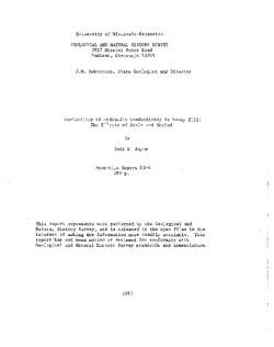
Variability of Hydraulic Conductivity in Sandy Till: The Effects of Scale and Method
Open-file report; contains unpublished data that has not yet been peer-reviewed. -
Lithostratigraphic Description and Classification of Loess-Stratigraphic Units in Wisconsin
Open-file report; contains unpublished data that has not yet been peer-reviewed. -
Evaluation of NURE Hydrogeochemical Data for Use in Wisconsin Groundwater Studies
Open-file report; contains unpublished data that has not yet been peer-reviewed. -
Summary of Survey on Groundwater Vulnerability Mapping Practices in the United States
Open-file report; contains unpublished data that has not yet been peer-reviewed. -
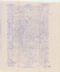
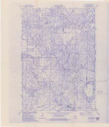
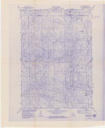
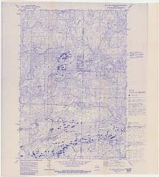
Pleistocene Geology of Taylor County, Wisconsin
-
Pleistocene Geology of Taylor County, Wisconsin (version 2) [GIS data]
1993
GIS Data: GeMS Level 3 file geodatabase (.gdb file format)
-
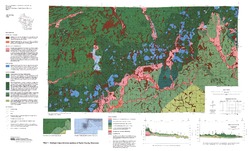
Geologic Map and Cross Sections of Taylor County, Wisconsin [plate 1]
1993
Map: 36 in x 21.75 in, scale 1:100,000

Publications Catalog
Wisconsin Geological and Natural History Survey