-
Geology of Wisconsin - Outcrop Descriptions
These descriptions illustrate various geologic formations, features, and characteristics. Individual descriptions are one to ten pages long, and include a map with specific location, a description of geologic features, and a discussion of the geologic significance.-
Adams County: Upper Wisconsin Dells (T14N R6E Sec28)
Report: 3 p.
-
Adams County: Friendship Mound (T17N R6E Sec5)
Report: 2 p.
-
Adams County: Hamilton Mound (T20N R6E Sec36)
Report: 4 p.
-
Ashland County: Mt. Whittelsey (T44N R2W Sec9A)
Report: 3 p.
-
Ashland County: Mellen Gabbro (T45N R2W Sec30)
Report: 3 p.
-
Ashland County: Mellen Granite (T45N R2W Sec31)
Report: 3 p.
-
Ashland County: White River (T46N R4W Sec6)
Report: 2 p.
-
Bayfield County: South Fish Creek (T47N R5W Sec20)
Report: 2 p.
- 123 more...
-
-
Geoscience Wisconsin Volume 18
History of Wisconsin Geologists-
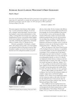
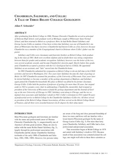
Chamberlin, Salisbury, and Collie: A Tale of Three Beloit College Geologists
2001
Journal Article: p. 9-20
-
Sequence Stratigraphy at the Turn of the Century: E.O. Ulrich's Ozarkian System in Wisconsin
2001
Journal Article: p. 43-47
- 1 more...
-
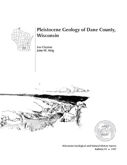
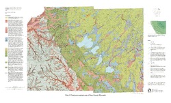
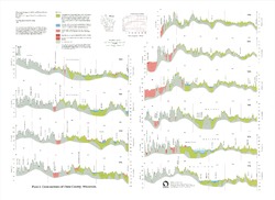
Pleistocene Geology of Dane County, Wisconsin
Description of the geologic history of Dane County. The preface points out the significance of glacial landscape research at WGNHS over the past century. Many pictures and diagrams and a four-color map and cross sections show the striking differences between glaciated and unglaciated regions of the county. Map and cross sections are folded.-
Pleistocene Geology of Dane County, Wisconsin (version 2) [GIS data]
1997
GIS Data: GeMS file geodatabase (.gdb file format)
-
Pleistocene Geologic Map of Dane County, Wisconsin [plate 1]
1997
Map: 39 in x 23.5 in, scale 1:100,000

Publications Catalog
Wisconsin Geological and Natural History Survey