-
Depth to Silurian Bedrock in Eastern Wisconsin
Silurian-aged bedrock in eastern Wisconsin is shallow, fractured, and contains groundwater that is susceptible to surface water contamination. Revisions to Wisconsin state rules ATCP50 and NR151 to regulate manure spreading over this Silurian-aged bedrock create the need for a depth-to-bedrock map of eastern WI. The Wisconsin Geological and Natural...-
Depth to Silurian Bedrock in Eastern Wisconsin [dataset 1]
2025
GIS Data: File geodatabase (.gdb file format)
-
-
Evaluating pXRF instrument performance using reference materials
The portable X-Ray Fluorescence (pXRF) instrument provides fast, real-time, non-destructive, multi-element geochemical data (i.e. elemental concentrations) on rocks and minerals at a relatively low cost and with minimal sample preparation. This study quantifies the precision and accuracy of measurements collected by the WGNHS pXRF on reference materials... -
Geochemistry and Mineralogy of the Wonewoc-Tunnel City Contact Interval Strata in Western Wisconsin
Results of regional study characterizing the elemental composition of rocks found at the Wonewoc-Tunnel City contact interval in west-central and southwest Wisconsin.-
Geochemistry and Mineralogy of the Wonewoc-Tunnel City Contact Interval Strata in Western Wisconsin [appendices]
2019
Data: Documents (.pdf file format), spreadsheets (.xlsx file format)
-
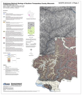
Preliminary Bedrock Geology of Southern Trempealeau County, Wisconsin
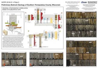
This open-file report documents the first year of a two-year mapping project in Trempealeau County, Wisconsin. This preliminary document is being released to encourage input on the mapping methods and map to make the final product as useful as possible. Contains 27-page report, map of southern Trempeleau County, cross section, and photos of drill core.-
Preliminary Bedrock Geology of Southern Trempealeau County, Wisconsin [plate 1]
2018
Plate: 26 in x 29.9 in, scale 1:100,000
-
Preliminary Bedrock Geology of Southern Trempealeau County, Wisconsin [plate 2]
2018
Plate: 35.9 in x 24.9 in
-
Industrial Sand Resources of West-Central Wisconsin
Field trip guidebook showcasing four sites in Trempealeau County in west-central Wisconsin. The focus of this trip is on the sandstone formations that are prized for frac sand mining. (A draft of this book was originally prepared for the 2017 American Institute of Professional Geologists (AIPG) Sand Mine Life Cycle Seminar held in Eau Claire, Wisconsin.) -
Wisconsin Groundwater-Level Monitoring Network Improvement
The Wisconsin Groundwater-Level Monitoring Network consists of 93 wells and 2 spring gaging stations. This report documents work performed on seven of the wells between August 1, 2016 and July 31, 2017, and appendices provide historical reference documents. -
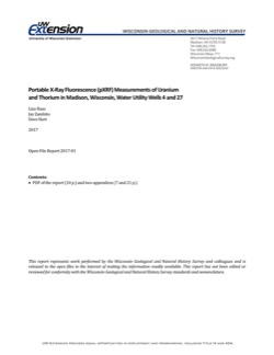
Portable X-Ray Fluorescence (pXRF) Measurements of Uranium and Thorium in Madison, Wisconsin, Water Utility Wells 4 and 27
Concentrations of radium at or above the health standard in a Madison municipal well prompted the water utility to request assistance from the Wisconsin Geological and Natural History Survey to better understand the source of the radium. This report documents a series of analyses performed on the elemental composition of rock samples from the affected... -
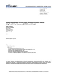
Sampling Methodologies and Data Analysis Techniques for Geologic Materials Using Portable X-Ray Fluorescence (pXRF) Elemental Analysis
Details the current WGNHS approach to pXRF analysis, including usage guidelines, sample preparation, calibration, and plotting techniques.-
Sampling Methodologies and Data Analysis Techniques for Geologic Materials Using Portable X-Ray Fluorescence (pXRF) Elemental Analysis [appendices]
2016
Data: Documents (.pdf file format), spreadsheets (.xlsx file format)
Publications Catalog
Wisconsin Geological and Natural History Survey

