-
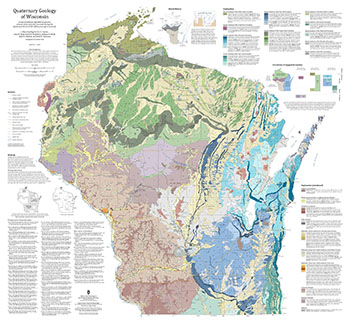
Quaternary Geology of Wisconsin
This 1:500,000 scale map of Wisconsin depicts sediment deposited by glaciers, streams, wind, and other processes during the Quaternary Period (2.58 million years ago to present). The map was made by compiling detailed Quaternary mapping and lithostratigraphic studies previously conducted by the WGNHS to generate consistent statewide Quaternary map units....-
GIS Data for the Quaternary Geology of Wisconsin (revised 2025) [dataset 1]
2025
GIS Data: GeMS file geodatabase, GeoPackage, shapefiles, metadata
-
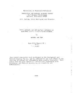
Soils, Geologic, and Hydrogeologic Influences on Lake Water Quality in Northwestern Wisconsin
Open-file report; contains unpublished data that has not yet been peer-reviewed. -
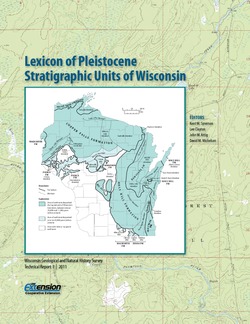
Lexicon of Pleistocene Stratigraphic Units of Wisconsin
This 180-page book marks the first update in over 20 years to the collection of formal definitions of Wisconsin's Pleistocene units. Contains over 100 color maps, photographs, and figures as well as an extensive list of references. -
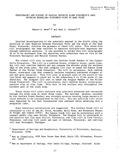
Pleistocene Geology of Barron County, Wisconsin
-
Pleistocene Geology of Barron County, Wisconsin (version 2) [GIS data]
1986
GIS Data: GeMS file geodatabase (.gdb file format)
-
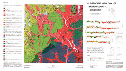
Pleistocene Geology of Barron County, Wisconsin [plate 1]
1986
Map: 40.5 in x 22.8 in, scale 1:100,000
-
Geoscience Wisconsin Volume 09
-
The Geology of the Lower Proterozoic McCaslin Formation, Northeastern Wisconsin
1984
Journal Article: p. 1-19
-
Stratigraphy and History of Glacial Deposits Along Wisconsin's Lake Superior Shoreline - Wisconsin Point to Bark Point
1984
Journal Article: p. 21-51
-
Quaternary History of the Driftless Area with Special Papers
Prepared for 29th Annual Meeting, Midwest Friends of the Pleistocene. -
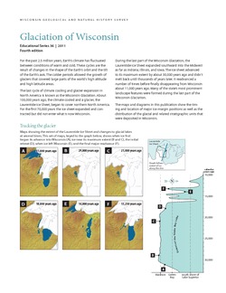
Glaciation of Wisconsin
Brief technical description of Wisconsin’s geologic history, glacial phases and lobes, and correlation and distribution of Pleistocene units. Heavily illustrated. -
Pleistocene Geology of Polk County, Wisconsin
-
Pleistocene Geology of Polk County, Wisconsin [GIS data]
2000
GIS Data: GeMS file geodatabase (.gdb file format)
-
Pleistocene Geology and Cross Sections of Polk County, Wisconsin [plate 1]
1998
Map: 26.1 in x 15.6 in, scale 1:100,000

Publications Catalog
Wisconsin Geological and Natural History Survey