-
Summary Sheets: Attributes of Wisconsin Lake Plants
Open-file report; contains unpublished data that has not yet been peer-reviewed. -
Geology of Wisconsin - Outcrop Descriptions
These descriptions illustrate various geologic formations, features, and characteristics. Individual descriptions are one to ten pages long, and include a map with specific location, a description of geologic features, and a discussion of the geologic significance.-
Adams County: Upper Wisconsin Dells (T14N R6E Sec28)
Report: 3 p.
-
Adams County: Friendship Mound (T17N R6E Sec5)
Report: 2 p.
-
Adams County: Hamilton Mound (T20N R6E Sec36)
Report: 4 p.
-
Ashland County: Mt. Whittelsey (T44N R2W Sec9A)
Report: 3 p.
-
Ashland County: Mellen Gabbro (T45N R2W Sec30)
Report: 3 p.
-
Ashland County: Mellen Granite (T45N R2W Sec31)
Report: 3 p.
-
Ashland County: White River (T46N R4W Sec6)
Report: 2 p.
-
Bayfield County: South Fish Creek (T47N R5W Sec20)
Report: 2 p.
- 123 more...
-
-
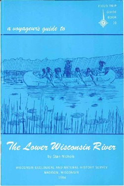
A Voyageur's Guide to the Lower Wisconsin River
This booklet covers the Wisconsin River from Prairie du Sac to the Mississippi River. It is a traveler’s guide, with boating safety tips as well as an educational guide to the history and natural history of the river. -
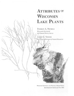
Distribution and Habitat Descriptions of Wisconsin Lake Plants
A catalog that features technical information and detailed drawings for more than 100 species of lake plants that range from the rare to the commonplace. Wire bound with plastic cover.

Publications Catalog
Wisconsin Geological and Natural History Survey