-
Hydrogeologic Atlas of Burnett County, Wisconsin
This hydrogeologic atlas offers a comprehensive interpretation and analysis of groundwater resources across Burnett County, Wisconsin. It encompasses assessments of the water-table elevation and groundwater flow directions, depth to the water table, depth to bedrock, distribution of groundwater recharge, relative vulnerability of groundwater to...-
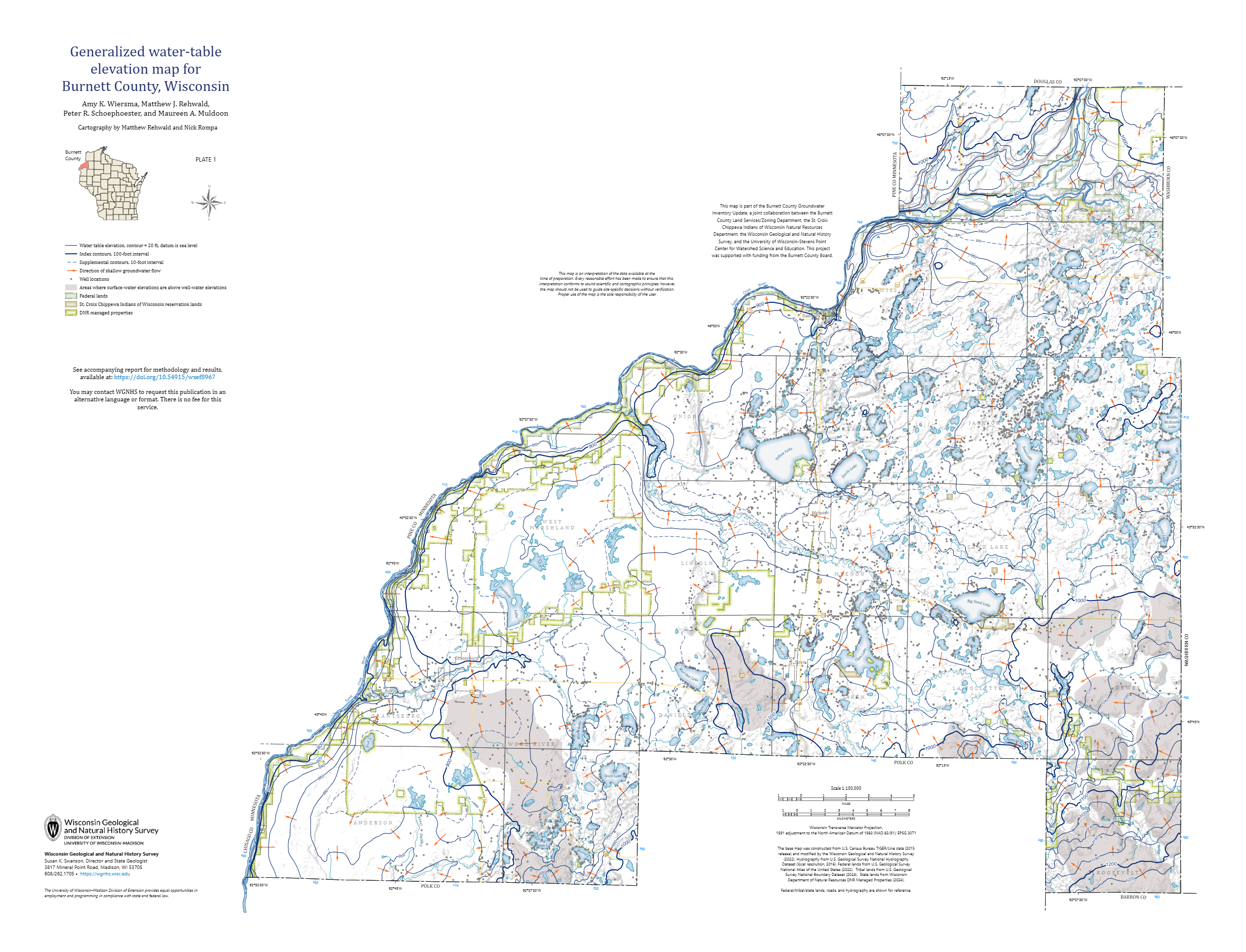
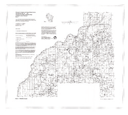
Generalized Water-Table Elevation Map for Burnett County, Wisconsin [plate 1]
2026
Map: 35 in x 26.75 in, scale 1:100,000
-
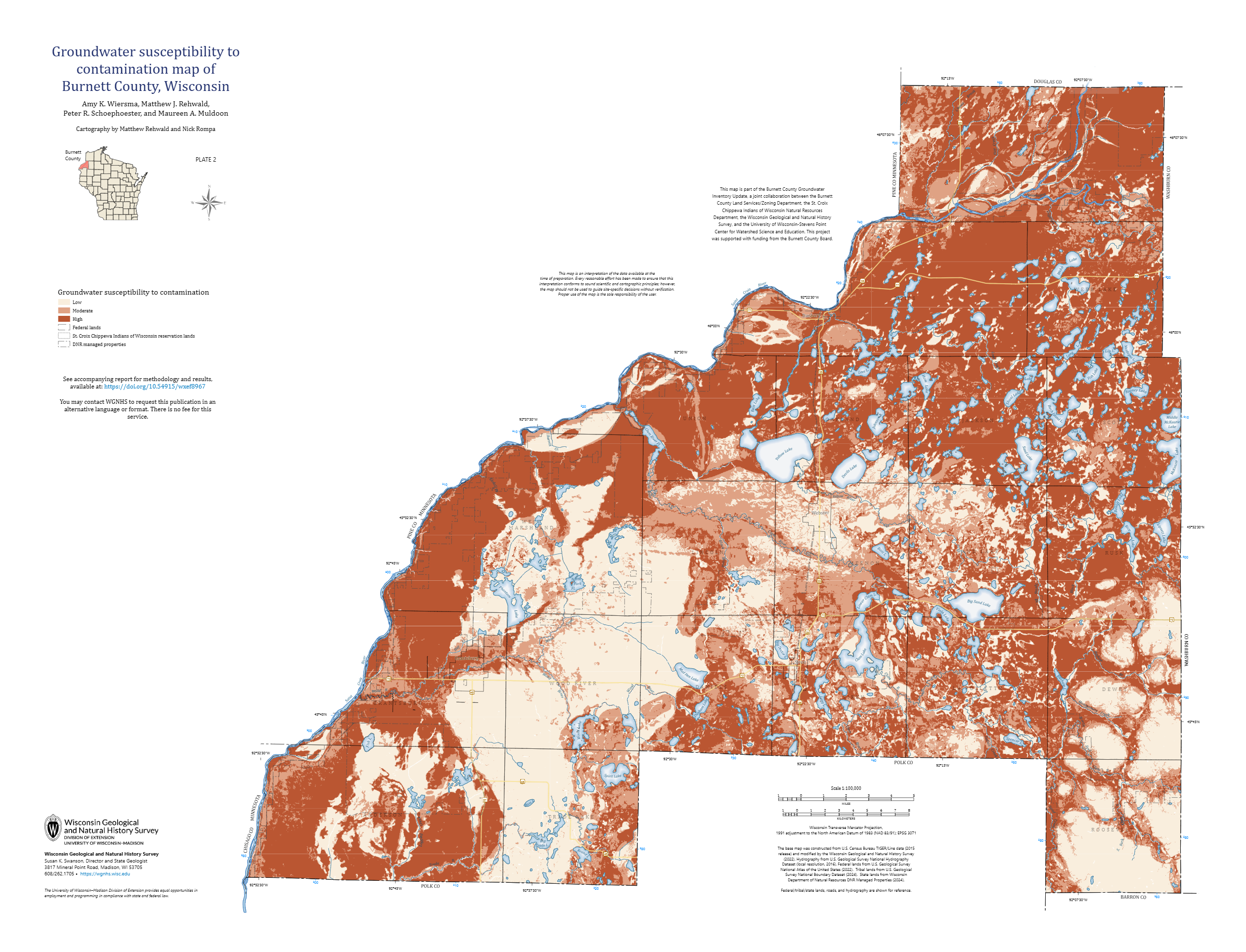
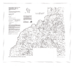
Groundwater Susceptibility to Contamination Map of Burnett County, Wisconsin [plate 2]
2026
Map: 35 in x 26.75 in, scale 1:100,000
-
GIS Data for Hydrogeologic Atlas of Burnett County, Wisconsin [dataset 1]
2026
GIS Data: File geodatabase (.gdb file format)
-
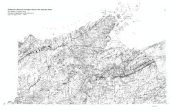
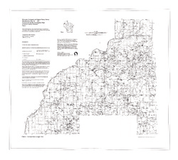
Summary of Field Mapping in the Superior Map Sheet, Wisconsin
Open-file report; contains unpublished data that has not yet been peer-reviewed. -
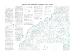
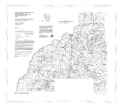
Generalized Water-Table Elevation Map of Burnett County, Wisconsin
-
Generalized Water-Table Elevation Map of Burnett County, Wisconsin
1998
Map: 38 in x 28 in, scale 1:100,000
-
-
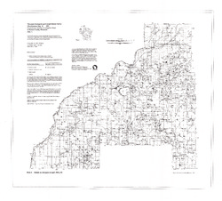
Groundwater Quality Investigation Maps of Burnett County, Wisconsin
-
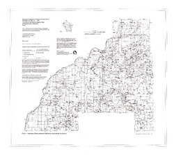
Groundwater Quality Investigation Maps of Burnett County, Wisconsin: Nitrate as Nitrogen in mg/L [plate 1]
1997
Map: 35.2 in x 31.8 in, scale 1:100,000
-
Groundwater Quality Investigation Maps of Burnett County, Wisconsin: Chloride in mg/L [plate 2]
1997
Map: 34.8 in x 31.3 in, scale 1:100,000
-
Groundwater Quality Investigation Maps of Burnett County, Wisconsin: Laboratory Measurement of Alkalinity in mg/L [plate 3]
1997
Map: 34.7 in x 31.3 in, scale 1:100,000
-
Groundwater Quality Investigation Maps of Burnett County, Wisconsin: Total Hardness in mg/L [plate 4]
1997
Map: 35.2 in x 31.7 in, scale 1:100,000
-
Groundwater Quality Investigation Maps of Burnett County, Wisconsin: Laboratory Measurement of Electrical Conductivity in μmhos/cm [plate 5]
1997
Map: 35.5 in x 32 in, scale 1:100,000
-
Groundwater Quality Investigation Maps of Burnett County, Wisconsin: Ferrous Iron in mg/L [plate 6]
1997
Map: 35.5 in x 32 in, scale 1:100,000
-
-
Bedrock Geology of Wisconsin, Northwest Sheet
Types of bedrock, formation names, major faults, and time period of formation.-
Bedrock Geology of Wisconsin, Northwest Sheet
1987
Map: 37.5 in x 22 in, scale 1:250,000; 35.5 in x 20 in
-
Bedrock Geology of Wisconsin, Northwest Sheet [GIS data]
1987
GIS Data: MrSID files (.sid file format)
-
-
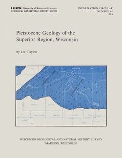
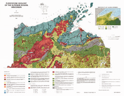
Pleistocene Geology of the Superior Region, Wisconsin
-
Pleistocene Geology of the Superior Region, Wisconsin (version 2) [GIS data]
1985
GIS Data: GeMS Level 3 file geodatabase (.gdb file format)
-
Pleistocene Geology of the Superior Region, Wisconsin [plate 1]
1985
Map: 35.9 in x 27.8 in, scale 1:250,000
-
Atlas of the Geological Survey of Wisconsin
Collection of most of the plates accompanying Chamberlin's four-volume Geology of Wisconsin: Survey of 1873-1879.-
Atlas of the Geological Survey of Wisconsin: General Geological Map of Wisconsin [plate 1]
1882
Map: 25.5 in x 30.3 in, scale 1 in = 15 miles
-
Atlas of the Geological Survey of Wisconsin: General Map of Quaternary Formations [plate 2]
1882
Map: 28.2 in x 32.4 in
-
Atlas of the Geological Survey of Wisconsin: General Map of Native Vegetation [plate 2A]
1882
Map: 28.2 in x 32.4 in
-
Atlas of the Geological Survey of Wisconsin: General Map of Soils [plate 2B]
1882
Map: 28.2 in x 32.5 in
-
Atlas of the Geological Survey of Wisconsin: Map of Rainfall and Temperature [plate 2C]
1882
Map: 27.7 in x 32.5 in
-
Atlas of the Geological Survey of Wisconsin: Maps of Subsoils and Native Vegetation of Eastern Wisconsin [plate 3]
1877
Map: 27.82 in x 32.17 in, scale 1 in = 12 miles
-
Atlas of the Geological Survey of Wisconsin: Maps of Topography and Quaternary Formations of Eastern Wisconsin [plate 4]
1877
Map: 27.83 in x 32.06 in, scale 1 in = 12 miles
-
Atlas of the Geological Survey of Wisconsin: Geology and Topography of the Lead Region [plate 5]
1877
Map: 27.68 in x 32.18 in
-
Atlas of the Geological Survey of Wisconsin: Geology and Topography of the Lead Region [plate 6]
1877
Map: 23.98 in x 28.94 in
-
Atlas of the Geological Survey of Wisconsin: Geology and Topography of the Lead Region [plate 8]
1877
Map: 24.03 in x 28.38 in
- 32 more...
-

Publications Catalog
Wisconsin Geological and Natural History Survey