
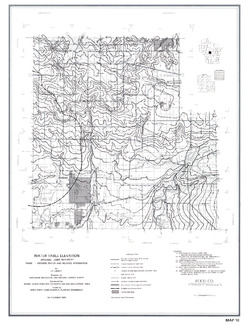
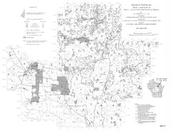
Irrigable Lands Inventory--Phase I Groundwater and Related Information
Data and Resources
-
Irrigable Lands Inventory - Phase I Groundwater and Related Information
1981
Report: 13 p. + 11 maps (scale 1:126,720 and 1:500,000)


Related Collections
-

Miscellaneous Paper
View Miscellaneous Paper